Heat and high humidity contribute to rain clouds in many regions.
The day should still be marked by the feeling of heat and sultriness in Brazil. Thursday morning you can already wake up to a cloud-filled sky and more hidden sun, in the interior of Santa Catarina, Paraná and São Paulo, as well as parts of the Midwest and North of the country.
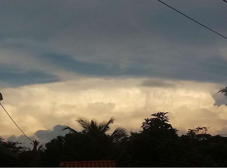
Photo: Teresina (PI), by Ozeas Neves
Weather forecast for 09/03/2023 – Thursday
South Region
The weather remains open throughout Thursday, with sun and heat in south-central Rio Grande do Sul, including for example the regions of Santa Maria, Uruguaiana, Alegrete, Quaraí, Bagé, Pelotas and Rio Grande. Rapid rain and no warnings in Tramandaí and Porto Alegre. Other areas in the southern region of Brazil experience heavier rainfall, as do Florianópolis and Curitiba. There is a risk of storms on the coast and west of Paraná. The instability in the Region should strengthen, due to the passage of a cold front.
Southeast region
Thursday morning can already start with a sky full of clouds and rain in the western half of São Paulo, between Bauru, Presidente Prudente and Ribeirão Preto, for example. The same can happen in Triângulo Mineiro. Temporarily open in the north of Minas Gerais, on the east coast and north of Rio de Janeiro. In Espírito Santo, more sun than rain, which should be light and fleeting, including Vitória. In Belo Horizonte, São Paulo and Rio de Janeiro, the onset of showers is expected in the afternoon, but with warnings for thunderstorms and perturbations, only in the capital São Paulo.
Midwest region
Charged clouds have spread since Thursday morning over the western belt of Mato Grosso, south-central Mato Grosso do Sul and southeast Goiás, as well as over Campo Grande and Goiânia. In Cuiabá and Brasilia showers are expected from the afternoon. The heat and muggy weather continue to be highlights in the Midwest region of the country.
Northeast Region
Dry air prevails in the interior of Bahia, with sun and heat throughout this Thursday. On the northeastern coast, maritime winds bring humidity to the continent and spread clouds, but which cause light and transient rains from Bahia to Alagoas, as well as Salvador and Maceió. From Recife to São Luís, showers can start early in the morning and last throughout the day, with breaks in the sun.
Northern region
This Thursday, in northern Brazil, the heat and high humidity in the air, as well as the influence of the Bolivian high, have spread heavy clouds over the region, with rains starting early in Amazonas and Pará, for example, including Manaus and Belém. . The showers can be strong and accompanied by thunderstorms. Hot, muggy air continues to predominate in the northern states.
Weather warnings for 09/03/2023 – Thursday
Warning for thunderstorms and heavy rain in the capitals: Manaus, Boa Vista, Macapá, Belém, Rio Branco, Porto Velho, Palmas, São Luís, Teresina, Fortaleza, Natal, Recife, João Pessoa, Brasília, Cuiabá, Campo Grande, São Paulo, Curitiba, Florianópolis and the metropolitan region of Rio de Janeiro.
Moderate rain in Maceio.
Thunderstorm warning in São Paulo, Triângulo Mineiro south of Minas Gerais, central-south of Goiás, in Mato Grosso do Sul, southeast, west and northwest of Mato Grosso, much of Rondônia, east and south- east of Amapá, in central-east and southwest of Pará, north and coast of Maranhão, Piauí and Ceará, extreme west, north and east of Paraná, west and northeast of Santa Catarina (as in Valle of Itajaí and north coast), in addition to southeast and south of Acre and southeast of Amazonas.
Watch for moderate to heavy rain, with lightning and gusty winds north and west of Rio Grande do Sul, most of Paraná and Santa Catarina, part of Mato Grosso, north-central Goiás, Federal District , in Amazonas, a large part of Pará and Tocantins, west and north of Amapá, in Roraima, a large part of Maranhão, west, southwest, central Piauí, central Ceará, west, north and east of the Rio Grande do Norte, east of Pernambuco and Paraíba, in a good part of Rio de Janeiro, from the Zona da Mata to the west of Minas Gerais.
Moderate rainfall in the northeast and north of Espírito Santo and in the south and coast of Bahia, as well as east of Alagoas.
Chance of hail today (09) in PR, SP, MG, MS, RJ, SC and south of GO.
The greatest accumulations of precipitation are recorded in the west and north of Mato Grosso, in Pará, Amazonas, in the central-north of Maranhão, in the north of Piauí and Ceará, in the central-south and north-east of Mato Grosso do Sul , points in the state of São Paulo, in the south of Minas Gerais and points in the center west of Rio de Janeiro.
Air humidity in a state of attention below 30%, when the ideal for human health would be 60%, in the central-west of Rio Grande do Sul (Campanha, Fronteira Oeste and central) and in part of the interior and central-west of Bahia, south and southwest of Piauí, and extreme southwest of Pernambuco.
Humidity below 30% in northern Minas Gerais.
Wind gusts during the day between 40 and 50 km/h in the Lagos region and in the north of Rio de Janeiro and in the south of Espírito Santo, in the north central and northeast of Bahia up to the Rio de Grande do Norte, Ceará , in the east and north of Piauí, north of Maranhão, passing through Pernambuco, Paraíba, Sergipe and Alagoas.
Where there are conditions for thunderstorms and heavy rains, wind gusts between 50 and 70 km/h, which can exceed these values in isolated points, from the north of Rio Grande do Sul to Amapá and Ceará.
Source: Terra
Rose James is a Gossipify movie and series reviewer known for her in-depth analysis and unique perspective on the latest releases. With a background in film studies, she provides engaging and informative reviews, and keeps readers up to date with industry trends and emerging talents.


