Clouds are still growing in the north and northeast and causing heavy rain showers
A large mass of dry air of polar origin affects the south, southeast and parts of the Midwest of the country, leaving temperatures low at night and reducing humidity levels in the air. The low humidity hinders the formation of large clouds and the occurrence of rainfall in these regions.
An extratropical cyclone moves over the ocean, from the coast of the southern region to the southeast. The clouds in this system are just above the ocean. The strong winds caused by this system make the sea very rough.
Storm clouds continue to form over many areas of northern and northeastern Brazil causing heavy downpours.
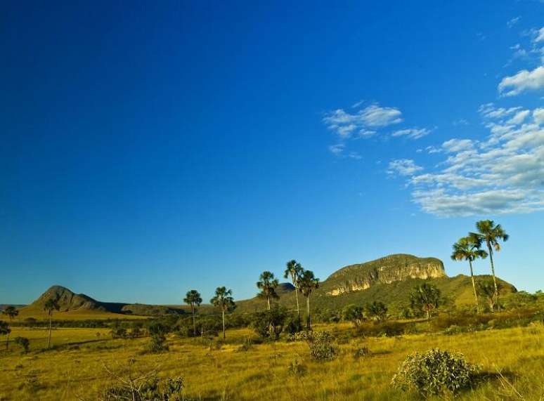
Chapada dos Veadeiros, Goias (Photo: Getty Images)
Brazil weather forecast for 05/16/2023 – Tuesday
South Region
Dry air of polar origin prevails on southern Brazil this Tuesday. It gets cold at dawn in all states and there are freezing conditions in southern Paraná, Planalto Sul and Planalto Norte de Santa Catarina.
Virtually all of the South Region has a sunny day. Some clouds grow on the coast of Rio Grande do Sul and Paraná, but cause no rain.
Pay attention to the low air humidity in the afternoon, which can be between 21 and 30% in many areas of the interior of the Southern Region.
Southeast Region
The presence of cold, dry air of polar origin over southeast Brazil leaves almost the entire region with few clouds and no rain conditions.
There are freezing conditions at dawn in the higher towns of the Serra da Mantiqueira.
The sun appears strong in the southeast region, but there are conditions for rapid rain showers in the Lagos region on the coast of the state of Rio de Janeiro.
The Jequitinhonha Valley and the northern part of the Rio Doce Valley in eastern Minas Gerais experience sunny periods with many clouds.
It is cold at dawn throughout the southeast region, with temperatures just below 10°C at dawn in the state of São Paulo, in the highest areas of Minas Gerais and Rio de Janeiro.
Beware of low air humidity, with values between 11% and 21% in north-central São Paulo and in the Triângulo Mineiro region.
Midwest region
A large dry air mass of polar origin affects the Midwest region. The low air humidity leaves the weather still, with few clouds and no rain in practically the whole Region.
Only some rain is expected in the far north of Mato Grosso, in areas close to the border with Amazonas and Pará.
Beware of low air humidity, which should be between 21% and 30% in most of the region. Lower levels, between 11% and 20%, should be observed in areas south of Mato Grosso and Goiás and in Mato Grosso do Sul.
It gets a little chilly at dawn in the Midwest, but the air warms up quickly and the afternoon is warm.
Northeast Region
Areas of instability grow over the Northeast Region of Brazil and cause rain showers in the interior and on the coast of almost the entire Region.
The areas of instability are stimulated by the recent passage of a cold front along the south coast of Bahia and by the presence of the Intertropical Convergence Zone which still operates on the north coast of Brazil.
It shouldn’t rain in southwest Bahia and inland northeast areas. In the strip between Rio Grande do Norte and Sergipe there are showers at any time in the coastal areas, in the Zona da Mata and in Agreste, but the sun appears all day.
In the south and east of Bahia the day is cloudy with several rain showers. There is a risk of lightning.
Rain showers with lightning and sunny spells are expected in northern and western Ceará, Piauí, Maranhão and northwest Bahia.
Northern region
Storm clouds continue to grow in almost all areas of northern Brazil.
The sun and dry climate predominate in the south of Tocantins, in Acre and in Rondônia. Some showers may occur in the Porto Velho region.
For the rest of the Northern Region, the forecast is for several rain showers with lightning during the day, even strong ones, interspersed with periods of sunshine.
Weather alerts for 05/16/2023 – Tuesday
Beware of moderate to heavy rains in the capital cities Fortaleza, Teresina, São Luís, Palmas, Belém, Macapá, Boa Vista in Manaus.
Watch out for moderate rains on the coastal strip between northern Bahia and Paraíba, including the capitals Salvador, Aracaju, Maceió, Recife and João Pessoa.
Watch out for hangovers on the coast of the southeast region between Ilhabela (SP) and Linhares (ES), with waves from 2.5 to 3.0 meters.
Storm warning on the coast north of Amapá, in Roraima, central-north and northwest of Amazonas, central-east of Pará, central and southwest of Maranhão.
Watch out for heavy to moderate rain, with lightning and risk of strong gusts of wind in the central area of Amazonas, in the central-south and north of Pará, in the central-north of Tocantins, in the south and central-north of Maranhão, in the north and west of Piauí and on the coast of Ceará.
Watch out for very dry air, with humidity levels between 11% and 20% in north central São Paulo, in the Triângulo Mineiro in the south of Goiás and Mato Grosso and a hinterland in the northeast
Source: Terra
Rose James is a Gossipify movie and series reviewer known for her in-depth analysis and unique perspective on the latest releases. With a background in film studies, she provides engaging and informative reviews, and keeps readers up to date with industry trends and emerging talents.


