The Civil Protection warns of the large amounts of rain that are expected to fall on the state in the coming days, with potential inconvenience
The Civil Protection of Rio Grande do Sul has issued a special warning for the large amounts of rain that are expected to fall on the state in the coming days, with potential inconvenience for the population.
Between Saturday and Monday (09/02 and 04/09), zones of instability are strengthened practically throughout Rio Grande do Sul with risk of bad weather, heavy rains and floods, due to the action of a low pressure zone allied to the flow of humidity coming from the north of the country and subsequent formation of a cyclone on the sea.
Southern Brazil on thunderstorm alert for first weekend of September 2023
Forecast for Saturday
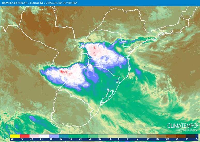
During Saturday (02) instability continued to act on Rio Grande do Sul, due to the persistence of a low pressure area over Argentina combined with the intense flow of humidity coming from the Amazon. During the day there is a risk of isolated thunderstorms with electrical discharges, possible hail and gusts of wind in the Campagna, South, North-West, North, Centre, Valleys, RMPOA and North Coast areas.
The largest volumes of rainfall are concentrated between the Northwest and North of Rio Grande do Sul, around 50-75 mm, occasionally reaching 100 mm, where they should cause discomfort. Starting at night, the
Instabilities intensify again in the West, Missions, Northwest and Center of the State, maintaining the risk of bad weather with strong gusts of wind, between 60 and 80 km/h during thunderstorms, and falls
of hail.
Forecast for Sunday
Sunday (03), the low pressure advances towards Rio Grande do Sul and the instabilities continue to affect a large part of the Rio Grande do Sul territory, maintaining the risk of thunderstorms with electric discharges,
gusts of wind and possible hail. In the North and in the Center the winds should vary with speeds between 50 and 80 km/h. Rainfall volumes are around 30 and 45 mm/day, with the possibility of reaching 90 mm/day in the central-northern areas.
Forecast for Monday
On Monday (04) the formation of a cyclone over the sea tends to intensify the rains in the Northwest, Center, East of Rio Grande do Sul, Valleys and RMPOA, with accumulated values varying between 50 and 70 mm/day, possibly reaching 120 mm /day.mm/day. In addition, the risk of thunderstorms with electrical discharges, possible hail, strong gusts of wind and disturbances related to the high tide accumulated in most regions of Rio Grande do Sul continues.
Winds are also strengthening in the eastern half of the state, with gusts between 70 and 80 km/h, reaching 90 km/h on the coast, leaving the sea rough and with the risk of backwash between the south coast and the central coast.
At the end of this event, the accumulation could range between 70 and 150 mm in the northern half of Rio Grande do Sul, and occasionally be expected to reach 250
mm in the Central, North, North West and East regions. In addition, there is a high risk of thunderstorms with hail and strong gusts of wind, i.e. bad weather conditions in a large part of the territory of Rio Grande do Sul.
Source: Terra
Rose James is a Gossipify movie and series reviewer known for her in-depth analysis and unique perspective on the latest releases. With a background in film studies, she provides engaging and informative reviews, and keeps readers up to date with industry trends and emerging talents.


