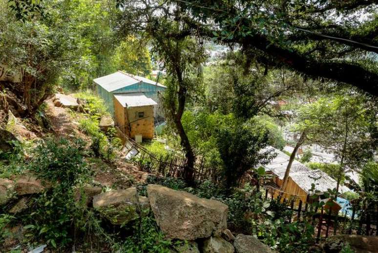
According to the report, more than 20,000 families live in risky areas of the capital. Check the regions
A new mapping of the risk areas of the capital, made in collaboration with the City Hall and the Geological Service of Brazil, linked to the Ministry of Mines and Energy, was delivered to Mayor Sebastião Melo this Monday afternoon (3) at the Administrative Center municipal . The study, which hadn’t been updated since 2013, indicated the existence of 119 risk locations in the capital of Rio Grande do Sul. The update of the document, which began in March 2022, shows that the number has risen to 142 risk areas, 23 more, for a total of 20,884 families living in these places.
The report, produced in the field by the technical teams of the Geological Service and with the support of the Civil Protection and the Municipal Department of Construction (Demhab), was based on three types of methodology, through the following studied processes: mass movement ( slipping, falling blocks and mass runs); hydrological (runoff, inundation and inundation) and erosional (marine, continental and fluvial). The degrees of risk are divided into high and very high. In 2013, 109 high-risk areas and 10 very high-risk areas were surveyed. This year, according to the new report, there are 91 high-risk areas and 51 very high-risk areas.
According to the director of Hydrology and Land Management, hydrologist engineer of the Geological Service, Franco Buffon, the cartography was built starting from visits to all the places indicated. “We will have our teams carry out the training of under-mayors and civil protection workers”, commented Franco.
Of the 17 Participatory Budget regions, 15 have some type of risk, according to the study:
Parthenon (27),
glory (21),
East (19),
South (15),
islands (14),
north (14),
Center-South (7),
Rest (7),
Axis-Baltazar (4),
Northeast (4),
Far South (3),
Humaita/Navegantes (2),
cruise (2),
Crystal (2) e
Center (1).
The investigation includes the following types of risk: flood, debris flow, massive flow, landslide, wedge landslide, non-specific landslide, planar landslide, flood, bank erosion, laminar erosion, flooding, falling blocks, falling splinters and ravine
A working group, composed of Demhab, Civil Protection, Municipal Prosecutor’s Office (PGM), Municipal Secretariat for Planning and Strategic Affairs (SMPAE) and Municipal Secretariat for Local Government and Policy Coordination (SMGOV) was created with the aim to discuss and propose strategies and actions to address risk areas in Porto Alegre. During the meetings, the following emergency plans were drawn up: prevention, mitigation, removal and intervention plan.
The secretary for the regularization of housing and land and director general of Demhab, André Machado, who took the initiative in formulating the new report, explains that information is the basis for avoiding possible tragedies. “We are looking for a way, in many different ways, to make progress on this issue. Both with sources of funding and in constant dialogue with the federal and state governments,” highlighted the owner of the SMHARF portfolio.
According to the coordinator of the Civil Protection of Porto Alegre, Colonel Evaldo Rodrigues Júnior, the idea is to create nuclei of Civil Protection in the 17 regions of the PB. “These centers will facilitate our communication in possible future assistance,” the Colonel said.
The meeting was attended by Deputy Mayor Ricardo Gomes, employees of Demhab, SMGOV, SMPAE, Civil Protection and Geological Survey of Brazil.
*With information City Hall of Porto Alegre
Source: Terra
Rose James is a Gossipify movie and series reviewer known for her in-depth analysis and unique perspective on the latest releases. With a background in film studies, she provides engaging and informative reviews, and keeps readers up to date with industry trends and emerging talents.


![A Better Life Preview: What’s in store for Wednesday, October 22, 2025 Episode 447 [SPOILERS]](https://fr.web.img5.acsta.net/img/f8/43/f843493759d61370dcef713a987b0620.jpg "A Better Life Preview: What’s in store for Wednesday, October 22, 2025 Episode 447 [SPOILERS]")

-u856n76lmfjq.jpg "Influencer Buzeira is transferred to a detention center in Sao Paulo")