Understand the differences between the major global satellite navigation systems available around the world
GPS is usually associated with satellite navigation as it is the oldest technology in the segment, but it is not the only option available: names such as GLONASS, Galileo and BeiDou are also part of this segment and offer real-time location solutions throughout the world . .
All the names mentioned are, in fact, a model of GNSS, or “Global Navigation Satellite System” (“Global Navigation Satellite System”, in the free translation). Most of them have military origins, and the oldest examples emerged during the Cold War, but were later made available for civilian use.
How does a GNSS work?
GNSS is a category that includes all the names mentioned: normally a system of this type operates with a constellation of at least 24 satellites that orbit the Earth and constantly emit signals to the receivers. The devices then perform a process called triangulation, in which they receive signals from three different emitters and calculate the exact location based on the time it takes for each one to arrive.
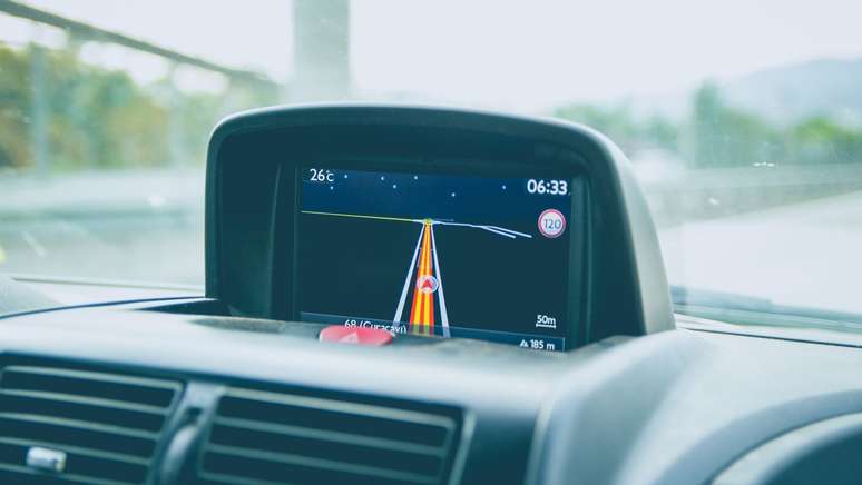
The most common use of GNSS is in real-time navigation on mobile phones, but the service is widely used by military agencies and industries such as agriculture, mapping, public transportation, surveying and traffic control.
What does each service mean?
Understand the meaning of each acronym and its country of origin:
GPS
Acronym for Global Positioning System (“Global Positioning System”, in the free translation), GPS is the most widespread system in the world, developed by the United States. The service inherited the technology by Navstar GPS, created by the US military in 1978 and released to the public without restrictions in 2000.
The constellation has a total of 32 operational satellites, 24 of which are active with global coverage. GPS is widely used by US companies, such as Google with Maps, which is why it is a famous name for navigation, especially in Brazil.
")
GLONASS
Abbreviation for Global Navigation Satellite System, the GLONASS is the navigation system developed by Russia. The first stages of construction were undertaken during the former Soviet Union, but the project was revived and completed only in the 2000s, during Vladimir Putin’s administration in the Russian government.
GLONASS has a constellation of 24 operational satellites with global coverage since 2011. It is one of the oldest GNSS systems in the world, with the first satellite launched in 1986, has measurement stations in Brazil and can be used in some Garmin brand devices.
")
Galileo
Galileo is a newer option, developed by the European Union’s European Special Agency (ESA) and managed by the European Union Space Program Agency (EUSPA) intended for civilian use. The system is intended for civilian use and the first satellites were launched in 2011; the project launched the high-precision service for testing in January 2023, with normal operation expected in 2024.
The European Union system has 30 satellites, six of which serve as backup for the 24 active transmitters.
")
BeiDou
OR BeiDou (formerly called Compass) is the newest option on the list and with the most available satellites on the list. Developed by China, the system has a total constellation of 35 satellites.
The project went live in 2011, with local coverage, and experts in the field of positioning, navigation and timing (PNT) already point out that the technology can be more advanced than GPS in representing positions with precision and speed.
")
What are the differences?
The main GNSS technologies work in a similar way, with military and civilian use (only Galileo was entirely designed for civilian use). The main differences between each are the country of origin and the number of satellites available – see the comparison:
| System | Responsible country or bloc | Number of satellites | Type of coverage | Precision | Satellite altitude |
| GPS | WE | 32 (24 operational) | Global since 1995 | From 30 cm to 0.5 m | Approximately 20,200 km |
| GLONASS | Russia | 26 (24 operational) | Global since 2011 | From 2.8 m to 7.8 m | Approximately 19,100 km |
| Galileo | European Union | 30 (24 operational) | Global from 2023 | Up to 20cm in high precision service | Approximately 23,200 km |
| BeiDou | China | 35 (24 operational) | Global from 2020 | 3.6 million in the global version and 10 cm in the encrypted version | Approximately 21,150 km |
Is it possible to choose which system to use?
Typically, the GNSS used depends on the region the person is in and the instrument used, so there are not many alternatives to choosing a specific service. However, some devices allow you to integrate GPS and GLONASS data, as happens with some Garmin watches: the company explains that the combination of both systems can generate results that are up to 20% more accurate.
The app shows the closest satellites
If you are curious to find out which satellites are closest to your region, you can download the GPS Test application (Android).
The interface is not very intuitive, but the app offers commands to know the time accurately based on GNSS information and see a map with operational satellites in the region.
")
During a short test in the state of Sao Paulo, it was possible to notice the predominant presence of GPS satellites, followed by GLONASS, Galileo and BeiDou. The application also allows you to check for the presence of QZSS (Japanese satellite system) transmitters.
Trends on Canaltech:
- Children suffering from bladder syndrome are treated for the AIDS virus; understand
- 20 years of Facebook | 4 controversies that have marked the social network
- Geographic discovery reveals how pyramids were built in Egypt
- Aston Martin Valkyrie: the partnership with Red Bull Racing that gave life to a supercar
- Chapolin attack: new scam exploits gate control to steal cars
- 5 Great Movies to Watch on Netflix in January 2024
Source: Terra
Rose James is a Gossipify movie and series reviewer known for her in-depth analysis and unique perspective on the latest releases. With a background in film studies, she provides engaging and informative reviews, and keeps readers up to date with industry trends and emerging talents.


