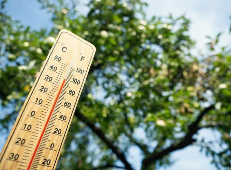
Temperatures at or above 40°C will be observed for several days. Understand!
The last week of winter 2023 will see an intense heat wave spread across Brazil. All regions of Brazil will be affected by this heat wave, with greater or lesser intensity. But the very hot period is expected to extend into the first week of spring and in some areas of the interior of Brazil very high temperatures may be recorded until almost the end of September.
Discover now some important aspects of this heat wave in Brazil
How long will the heat wave last?
This heat wave began on September 17, 2023 and is expected to last until the first week of spring. In some areas of the interior of Brazil, in parts of the Central-West, North and North-East, very high temperatures could occur until almost the end of September.
But not all regions of Brazil will feel the effects of high temperatures during this period. This heat wave will be more prolonged in the states of the Central-West and the Federal District, in the west and north-west of Minas Gerais, in the Tocantins, in the south and east of Pará, in the inland areas of Maranhão, Piauí and Bay.
Will the heat wave be strong?
Yes, this heat wave can be considered strong. It can probably be compared to one of the most intense heat waves recently experienced by Brazil, which occurred during the spring of 2020.
What is the difference between a heat bubble and a heat wave?
The expressions mean the same thing. A heat wave or bubble is a period of a few days, or even weeks, in which temperatures in a given relatively large region are well above the average that would be normal for a given season.
The term heat dome has recently been used to describe the intense heat waves observed in the summer of 2023 in the Northern Hemisphere.
This heat dome is the result of the action of high atmospheric pressure systems that remain stationary in the same region for several days and are the causes of these heat waves.
The high atmospheric pressure acts as if it were a lid, compressing the air at the surface and causing blockages in atmospheric circulation, making it difficult for hot and cold air masses to mix. High atmospheric pressure, in this case in Brazil, will inhibit the movement of cold fronts across the south of the country to reach the southeast. Cold fronts will be deflected offshore, along with cold air.
Photo: Getty Images
More than 40°C?
YES! Temperatures equal to or above 40°C will be observed for several days in areas such as northern Paraná, west and north of São Paulo, west of Minas Gerais (includes Triângulo), Mato Grosso, Mato Grosso do Sul, Goiás, a west of Bahia, interior of Maranhão and Piauí, Tocantins, south/east of Pará, Rondônia.
However, it must be kept in mind that 40°C in September in the Centre-West, the North and the interior of the North-East are common, it is not a big problem. But if we talk about 42°C, 43°C, 44°C, it’s something really special, out of the ordinary
Can this heat wave be compared to the one in 2020?
A few days of this heat wave in the last week of winter 2023 could be compared to the extreme heat wave that Brazil experienced in the spring of 2020. The event is recent and many people forget about it!
The reference we must keep in mind is this heat wave of the spring of 2020, which changed the hot climate in Brazil. Before the spring 2020 heat wave, the highest temperature in the country was 43°C. Subsequently the base was changed to 44°C.
Some extreme data from the 2020 spring heat wave
Officially, the highest temperature recorded in Brazil, in more than 100 years of measurements by the National Institute of Meteorology, is 44.8°C in Nova Maringáon 4 and 5 November 2020.
The highest temperature recorded in a capital city was 44.0°C, in Cuiabá, on 09/30/2020
The highest temperature recorded on a September day in the city of São Paulo was 37.1°C, on 09/30/2020: this is the second highest temperature recorded in the capital of São Paulo since 1943.
The highest temperature ever recorded by Inmet in Sao Paulo was 37.8°C, on 10/17/2014
Look what the National Institute of Meteorology recorded in Mato Grosso do Sul:
44.6°C in Água Clara on 05/10/2020 and Paranaíba on 07/10/2020
44.4°c in Água Clara, 01/10/2020)
44.1°C at Coxim, 09/30/2020
44.0°C at Coxim, 06/10/2020
43.9°C in Água Clara, 02/10/2020
43.8°C in Corumbá, 11/15/1962
See the 10 highest temperatures in Sao Paulo, with official data from Inmet:
1) 43.5°C in Lins on 07/10/2020
2) 43.0°C in Iguape on 02/03/1933
3) 42.9°C in Barretos on 07/10/2020
4) 42.8°C Registered on 10/02/2020
5) 42.6°C in Ibitinga on 07/10/2020
6) 42.4°C in Dracena on 06/10/2020
7) 42.2°C in Catanduva on 10/05/2020
8) 42.1°C in Iguape on 16/01/1956, Catanduva and Votuporanga on 03/10/2020
9) 42.0°C in Jales on 07/10/2020
10) 41.9°C in Lins on 09/30/2020 and 10/06/2020 and Dracena on 10/03/2020
Be careful, this heat will be intense! In addition to warmer oceans, it’s September and the Southern Hemisphere is already receiving “stronger sunshine.”
Take care of children, the elderly and animals. And do you really need to go running in the sun? Finally, remember this that water is a holy medicine, that dehydration begins when the mouth begins to dry, that the temperature inside a car, under the sun, is much, much higher than what the thermometer reads in the shade .
Source: Terra
Rose James is a Gossipify movie and series reviewer known for her in-depth analysis and unique perspective on the latest releases. With a background in film studies, she provides engaging and informative reviews, and keeps readers up to date with industry trends and emerging talents.


