Sunrise with autumnal characteristics and cold in the South and South-East
Warm, humid air favoring rain clouds over the northern region of BR and wind circulation strengthening rain clouds over the southeast and midwest areas. Additionally, ZCIT still leaves the weather unsettled, intensifying storms on the northeast coast. In part of the central-southern part of the country, high atmospheric pressure prevented the formation of storm clouds.
Weather forecast for 03/04/2023 – Monday
South Region
Week starting with cold air still in the South. There is no more chance of frost, plus in the morning, temperatures are still low in PR, SC and RS. In the afternoon, with the presence of the sun, the maxims are more pleasant. Circulation of winds favoring rain showers in the extreme south of Rio Grande do Sul, other areas of the Region, with stable weather.
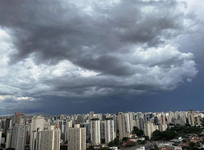
Southeast Region
The high pressure returns to prevent rain clouds over south-central and east of SP state, RJ state, Zona da Mata Mineira region and south-central ES, but there is still a lot of cloud variation, mainly the morning. In the capital São Paulo, temperatures rise in the afternoon. It rains again with moderate to heavy intensity and some localized thunderstorms in the northwest and Triângulo de Minas.
Photo: Getty Images
Midwest region
Storms pick up strength in the state of Mato Grosso on Monday, but the air is still stifling. In the morning some sunny spells in Sinop and Pontes and Lacerda. Potential rain with lightning and winds on the region. Sultry weather, sunshine and thunderstorms in the Federal District and in Goiânia. Heavy rains in southern GO and northern Mato Grosso do Sul. In Campo Grande, sun with few clouds and clear weather.
Northeast Region
The rain continues persistently on the north coast of the Northeast. ZCIT – South Atlantic Convergence Zone, favoring heavily charged clouds from the coast of Maranhão into the interior of Rio Grande do Norte. It rains several times during the day, interspersed with periods of improvement. The storms continue and the gusts of wind gain strength. In southern Bahia, heavy rains, due to constant winds blowing from the sea against the coast. In the northeast of Bahia, stable weather and little rain between Recife, Aracaju and Maceió.
Northern region
The North Region continues to experience lightning and thunderstorm showers throughout the day. Very muggy in Manaus, Porto Velho and Belém. It rains at any time of day in the hinterland and west of Acre and in much of Pará, with the risk of thunderstorms. Lots of sun, heat and good weather in Boa Vista and northern Roraima. Other areas of the Region under attention during the day.
Weather alerts for 03/04/2023 – Monday
Watch for heavy rain with lightning and wind in most of the Amazon, Acre state, northwest PA and south AP
Thunderstorms with winds in Manaus, south-central RO, Belém and interior PA
Watch out for heavy rains in interior and south of MA, state of TO, south of PI, interior of PE
Wind gusts of 40 to 50 km/h (regardless of rain), on the south coast of Buenos Aires, in Ilhéus and Porto Seguro
Navy: RS coast to RJ coast hangover alert
Watch out for heavy rains south of GO, north of MS, and south of MT. Thunderstorms in north-central MT, in Goiânia and Brasilia
Watch out for heavy rains in south BA
Storms from coast of MA to coast of CE and inland from RN and PB
Wind gusts during thunderstorms, 50 to 70 km/h and rain 25 to 50 mm
Winds between 40 and 60 km/h in the areas considered, with rain forecast between 10 and 25 mm
Source: Terra
Rose James is a Gossipify movie and series reviewer known for her in-depth analysis and unique perspective on the latest releases. With a background in film studies, she provides engaging and informative reviews, and keeps readers up to date with industry trends and emerging talents.


